Parc des Sports Gerland - Gare routière internationale Parc de Gerland
≈ 8 min · 642 m on foot
This route ends at the destination’s reference point.
© OpenStreetMapPark / Lyon
Parc de Gerland has sports and walking areas and planted grounds beside the Rhône. For the Allée des Iris side, the Rue Coubertin access is a better reference than the centre of the park.
The walking route from Parc des Sports Gerland - Gare routière internationale is about 8 min (642 m). Check access and parking conditions before you leave.
≈ 8 min · 642 m on foot
This route ends at the destination’s reference point.
© OpenStreetMap≈ 8 min · 659 m on foot
This route ends at the destination’s reference point.
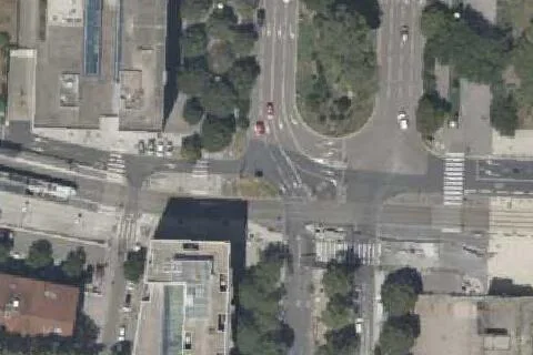
© OpenStreetMapUse the aerial views to get your bearings. Check entrances, signs and space availability on arrival.
642 m on foot · ≈ 8 min540 m · straight-line distance
Rue Jean-Pierre Chevrot, 69007, Lyon
Car rate · €0.60 / 15 minEffective from Jan 12, 2026Free if you exit within 15 min; stay longer and charges apply from entry.Official rate

659 m on foot · ≈ 8 min570 m · straight-line distance
12 rue Jonas Salk, 69007, Lyon
Car rate · €0.85 / 15 minEffective from Aug 1, 2026Official rate
Also serves: Musée des Confluences · ENS de Lyon · Site Monod · Halle Tony Garnier
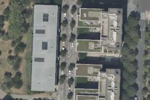
Walking route unavailable820 m · straight-line distance
317 avenue Jean Jaurès , 69007, Lyon
Car rate · €0.60 / 15 minEffective from Oct 1, 2026Official rate
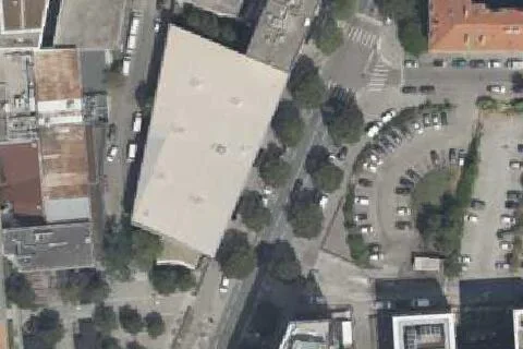
Walking route unavailable830 m · straight-line distance
rue Antonin Perrin, 69007, Lyon
Car rate · €0.85 / 15 minEffective from Aug 1, 2026Official rate
Also serves: Musée des Confluences · ENS de Lyon · Site Monod · Halle Tony Garnier
Sources and coverage
Rules and access can change. Check local signs, hours and conditions at the destination.
Capacity is the number of spaces at a location. When availability data exists, we show when it was updated.
Lyon
807 m on foot · ≈ 10 min
1,021 m on foot · ≈ 13 min
1,275 m on foot · ≈ 16 min
Walking route unavailable